Cycling the Hebridean Way
Four days riding the NCN 780
The Hebridean Way on the Outer Hebrides is unlike any other bike ride in the UK, quite possibly Europe. From Vatersay in the south to Lewis in the north you will ride over 10 islands, linked by causeways and ferries covering nearly 200 miles.
The chain of islands that form the Outer Hebrides are on the edge of the Atlantic Ocean. Next stop, to the north, are the Faroe Islands and to the west, Newfoundland and Labrador. Just getting to the Outer Hebrides is an adventure in itself with the ferry from Oban takes just under five hours which gives the impression that you travelling somewhere remote and wild.
Day 1: Vatersay to Benbecula
Vatersay
The cycling adventure starts the morning after our arrival on Barra with a cycle down to Vatersay (Scottish Gaelic: Bhatarsaigh). A short, but steep climb takes us from Castlebay down to a causeway and over onto Vatersay. Here you will experience your first taste of Hebridean beaches with turquoise water and white sands. As we cycle over the isthmus towards Baile Bhatarsaigh we will pass by the Annie Jane Memorial which commemorates the tragic shipwreck on the 28th September 1853 where 350 men, women and children lost their lives as they emigrated from Liverpool, bound for Quebec.
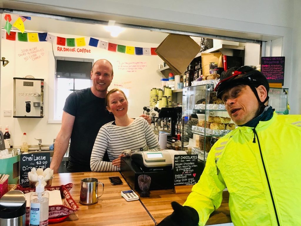
Arriving in Baile Bhatarsaigh, we reach the start point of the National Cycle Network route for the Hebridean Way (NCN 780). Being the southern-most inhabited island on the Outer Hebrides we now have no choice, but to turn around and cycle back to Barra. Reaching Castlebay once more we then ride around the western and northern edge of the island towards Aird Mhòr before catching the the ferry for a 40 minute journey over to Eriskay. Many cyclists will tell you that one of their main reasons they ride a bike is for the coffee and cake, and if this is you, then Ardmhor Coffee with its barista coffee, homebaking and friendly welcome Will be a welcome sight as we wait for our ferry.
Eriskay
Our ferry lands on the Western edge of the island of Eriskay and your ride on the island will only be 3km (1.8miles), but in that short space of time you will be passing by two spots of legend in Scottish history. The first is the spot at Coilleag, where Bonnie Prince Charlie first set foot on Scottish soil before heading to the mainland of Scotland to lead the 1745 Jacobite Rebellion. The second is the location where, in 1941, the SS Politician ran aground on Rosins Point. Eriskay locals formed unofficial “salvage parties” who in the ship’s Hold Number 5 they found 264,000 bottles of whisky. The incident inspired Compton Mackenzie’s book “Whisky Galore”, which in turn was made into and Ealing Comedy. Today, the bar at the “Am Politician” still has an original bottle of whisky that was brought ashore from the stricken ship.
Eriskay links
South Uist
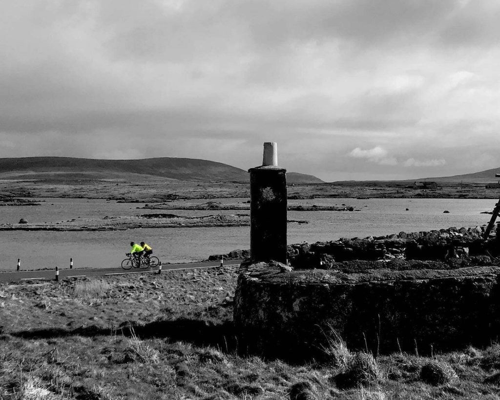
Leaving Eriskay via a causeway crossing our cycle north for 28 miles along the west coast of South Uist will take us towards Benbecula. Along the way we will cross the machair. Machair is a Gaelic word meaning a fertile, low lying, grassy plain and these habitats are one of the rarest in Europe and can only be found on the western coasts of Scotland and Ireland. South Uist and North Uist have the most extensive areas of machair on the Outer Hebrides As we ride we will stray off the main road north to enjoy the rich and diverse flaura and fauna in this area.
Flora Macdonald was born in South Uist in 1722. A Jacobite heroine, she assisted Bonnie Prince Charlie in his escape from the Hanovarian, Government Army after the Battle of Culloden in 1746. The story is immortalised in the song “The Skye Boat Song”. We will cycle past Flora’s birthplace at Kildonan with the option of stopping at the museum and cafe there to find out more about the history of South Uist.
South Uist links
Benbecula
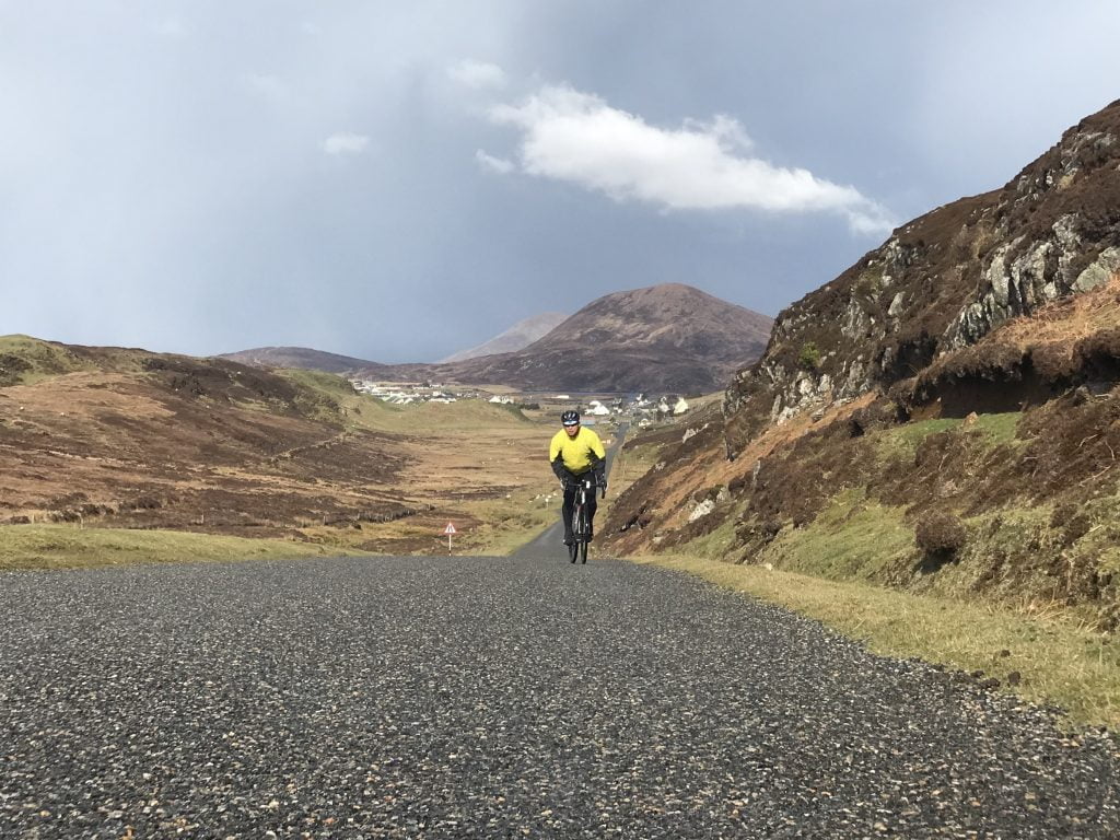
Benbecula in gaelic is Beinn na Faoghla which means Mountain of the Ford. The island has one solitary hill, Rueval and is the connecting point between North and South Uist. The island has a long military history and the airport was originally built during WWII and became a rocket range during the Cold War. The army base on the island is one of the main employers.
We spend the night in the southern edge of Benbecula, before setting off to traverse the island on Day 2 of our Hebridean cycle. For those wanting to explore the island a bit more before dinner we have an optional out and back ride out to Port Pheadair (Peter’s Port). After dinner you can head down for a walk onto Liniclate beach behind the hotel to watch the sun set over the Atlantic.
Benbecula links
Join our road cycling holiday on the Outer Hebrides
The Hebridean Way on the Outer Hebrides is unlike any other bike ride in the UK, quite possibly Europe. From Vatersay in the south to Lewis in the north, you will ride over 10 islands, linked by causeways and ferries covering nearly 200 miles. You can ride this amazing route in 2024 supported along the way by Skinny Tyres. Read on to find out more about our trip to these islands
Day 2: Benbecula to North Uist
North Uist
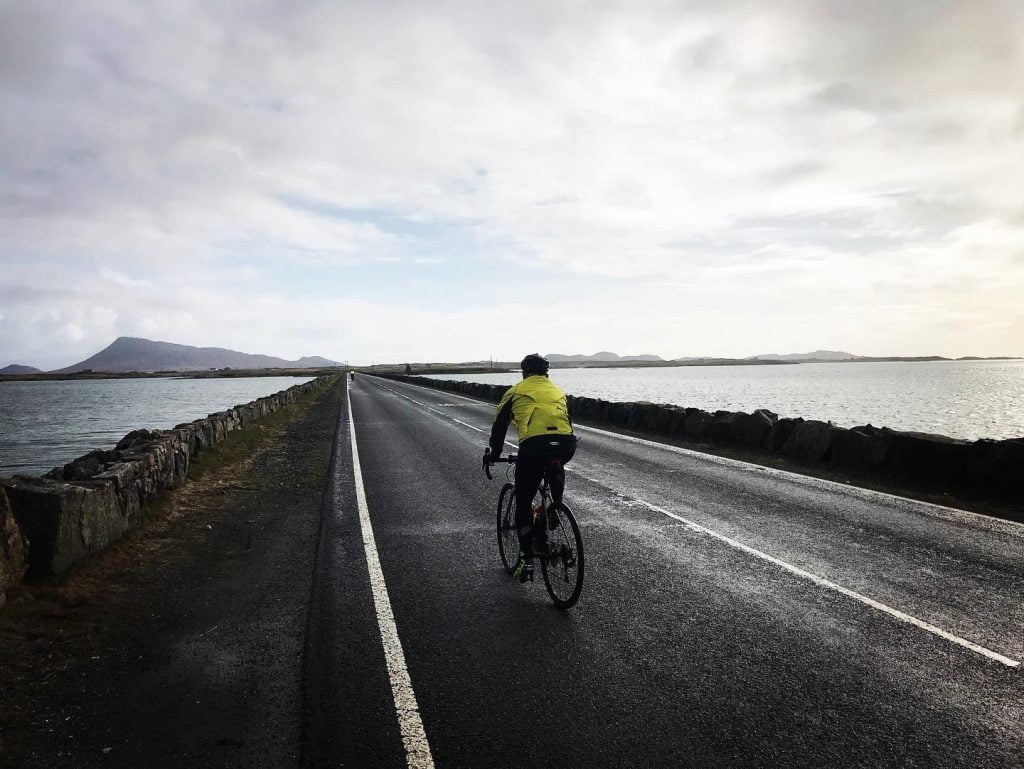
Looking at a map of North Uist you might be inclined to think the island is made more of water than it is of land. Only the north-west of the island has a more substantial landmass, where the rest of the island is often described as a “drowned landscape”. The human history of the island is reflected in the numerous stone circles, chambered cairns, such as Barpa Langais and neolithic settlements scattered around the island.
To reach North Uist we cycle from Benbecula over a series of causeways heading again for the machair and beaches of the western edge of the island. We take a short detour from the main road to Hougharry and it’s beautiful beach, where if you so wish you can take off your cycling shoes and dip your feet in the Atlantic Sea.
For those wanting a short day there is then the option to head direct to Lochmaddy, or those looking for a bit more of a challenge you can cycle up and over the Committee Road, the highest road on the island at a dizzying 58 metres (190ft). Nevertheless, the road offers a great vantage point to look back towards Benbecula and South Uist before dropping down where we then ride through the centre of “the drowned landscape” towards Lochmaddy. An optional extra, for those who want to say they have cycled on all the roads on North Uist, is the chance to pedal an out and back route to Loch Euphort. The end of the road here, beside the sculpture, “Sanctuary” by Roddy Mathieson, offers stunning views across Loch Euphoirt and Loch Obasaraigh to the four summits of Eabhal, Burabhal, Lì a Deas and Lì a Tuath.
Day 3: North Uist to Lewis & the Golden Road
Berneray
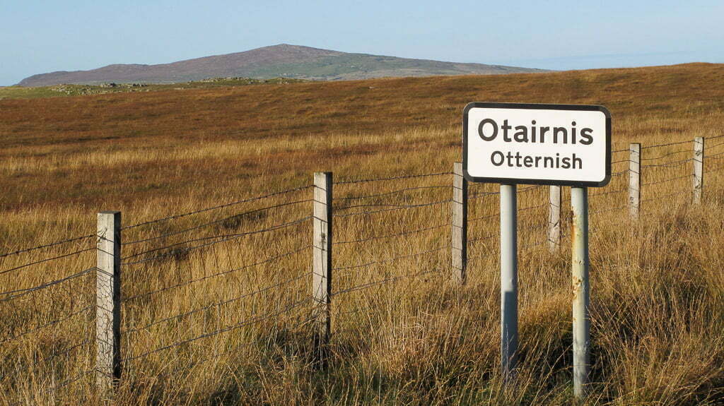
Leaving Lochmaddy we cycle to the northern edge of North Uist at Otternish and along a causeway on to the island of Berneray. Those arriving early may want to explore Berneray a little more and cycle past the ferry port, through Borve, possibly for a coffee at the “Lobster Pot” cafe, or ride on towards the white sand beach at Rushgarry. Our ferry leaves Berneray at 10:25am arriving in Leverburgh on Harris an hour later.
Berneray links
Isle of Harris
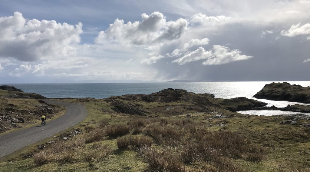
Departing the ferry at Leverburgh we will also depart the Hebridean Way for a while to ride on the stunning Golden Road. This route is one of the highlights of this trip and if ever a road was built to leave a smile on a cyclist’s face, then this is it. The Golden Road hugs the wild, and otherworldly coast of Harris. Climbing up to the south-eastern headland at Rodel with views across the Little Minch towards the Isle of Skye, we turn north and onto 33km (20 miles) of road cycling, single-track heaven.
The name of the Golden Road, reputedly comes from the high construction cost which some local commented on “If it cost that much, then it must be made of gold”. The road was built just after World War II after many accidents as people waded rivers to get home to their crofts. What makes the Golden Road so special to cycle through is the landscape, in places raw with exposed ancient gneiss, coloured with strips of minerals, then as you drop down in to little bays with rocks and sand you may spot a seal basking on the rocks. The route is a wild roller-coaster to cycle and our opinion a road that must be on your “bucket-list of places to cycle in the world.
Leaving the Golden Road behind we cycle onwards to Tarbet and then north for our first of two nights staying in Stornoway.
Harris links
Day 4: Stornoway to the Butt of Lewis
Isle of Lewis
Today is the last day of our cycle journey along the Hebridean Way and we make our way to the most northerly point of this chain of islands. The Butt of Lewis, mentioned in the Guiness Book of Records as the windiest place in the UK. North of here it is open ocean to the Artic and it marks the end of our route and the finish of the classic Outer Hebridean traverse from Vatersay to Lewis. The finish is marked with a 121ft high red brick lighthouse built between 1859 and 1862 by David and Thomas Stevenson. Thomas was the father of the author Robert Louis Stevenson.
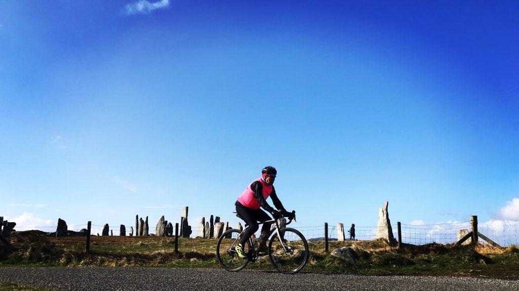
Before we get here though we still have some epic cycling to do around the eastern edge of Lewis. Once again we will veer off the main Hebridean Way to allow us to climb high on the moorland, giving us great views south to the mountains of Harris. We then drop down to pass by the Callanish Stones erected 5000 years ago and predating Stonehenge. We will also cycle past the impressive Dun Carloway, a broch (fortified dwelling only found in Scotland) the dates back to 200BC and still stands almost at its full height of 9m.
The last part of our ride takes us over Ness, which is impressive for it’s barren, but no less beautiful flatness. If we have a tailwind, you will love this section, if not… Well, let’s just hope we have a tailwind.
Once at the Butt of Lewis you can celebrate your ride with photos with an impressive backdrop of the Atlantic crashing against the cliffs. For some they will want to end their ride there, but others may wish to ride another 50km (30 miles) back south to the hotel in Stornoway to complete a circular route of Lewis.

Join our road cycling holiday on the Outer Hebrides
The Hebridean Way on the Outer Hebrides is unlike any other bike ride in the UK, quite possibly Europe. From Vatersay in the south to Lewis in the north, you will ride over 10 islands, linked by causeways and ferries covering nearly 200 miles. You can ride this amazing route in 2024 supported along the way by Skinny Tyres. Read on to find out more about our trip to these islands

